The Cerrado biome covers approximately a two million km2 area, situated between the coordinates 5˚ and 20˚ south latitude and 45˚ to 60˚ degrees west longitude, with most of its area located in the Central Plateau of Brazil. Cerrado regions extends continuously through the states of Goiás, Tocantins, Federal District, part of the following states: Bahia, Ceará, Maranhão, Mato Grosso, Mato Grosso do Sul, Minas Gerais, Piauí, Rondônia and São Paulo and, separate areas in the following states: Amapa, Amazonas, Pará and Roraima, and in the south the state of Paraná (Ribeiro & Walter, 1998). Historically, the Cerrado vegetation is conditioned by the climate, soil physical and chemical properties, fire, water table depth and more recently by human activities such as livestock, deforestation and agriculture (Ribeiro & Walter, 1998 apud FUNATURA, 2011).
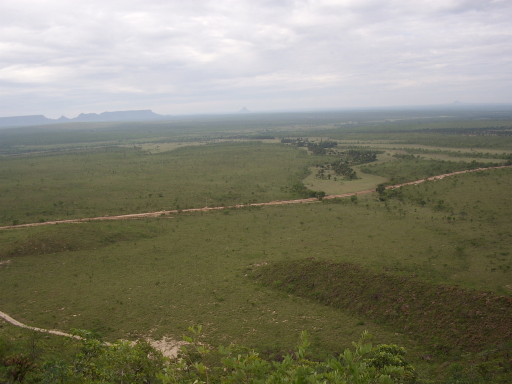 The concept of "Cerrado" has been used to designate either phytophisiognomy types (vegetation types) and to define phytophisiognomy formation or categories (vegetation forms). It can also be associated to the particular structural or floristic features, found in specific regions. Cerrado biome vegetation features physiognomies formations that include forest, savanna and grassland (RIBEIRO & WALTER, 1998). EITTEN Second (1994, apud RIBEIRO & WALTER 1998) the remaining Cerrado physiognomic forms depend on three aspects of the substrate: fertility and aluminum content available (low fertility, high aluminum levels); soil depth; water saturation level of the surface layers and subsurface soil. In the region of Jalapão region Ecological Corridor Project, Cerrado vegetation types are as follows:
")
")